Reality Capture
Accurate spatial data acquisition for buildings, infrastructure, industrial facilities, and complex physical environments.
Capture Technologies
Using laser scanning, mobile mapping, photogrammetry, and imaging technologies, we capture existing conditions with the precision required for engineering, construction, operational, and digital workflows.
Mobile Laser Scanning
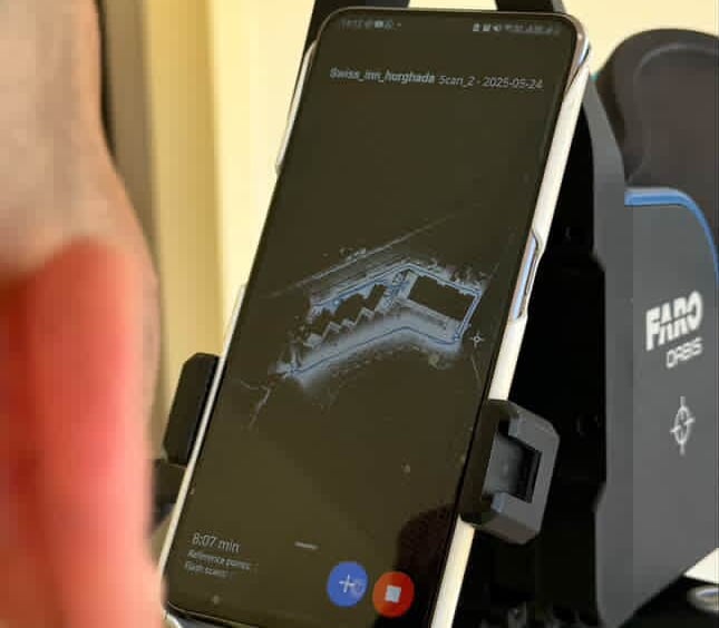
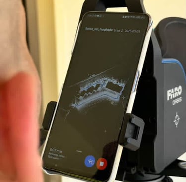
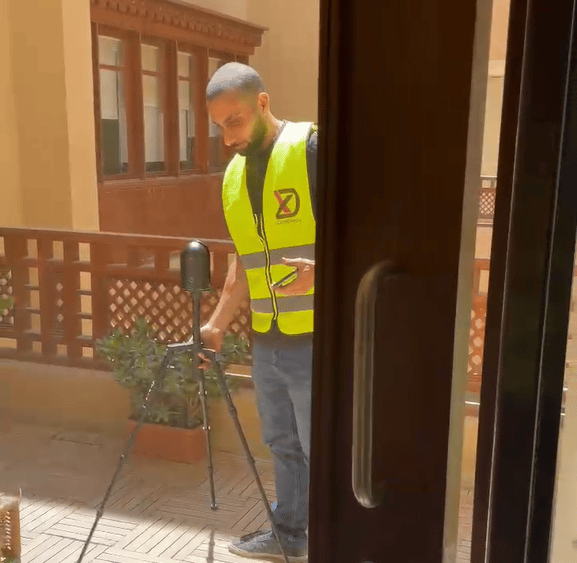

Capturing environments on the move using mobile mapping. Ideal for time-sensitive projects delivering fast, georeferenced point clouds with efficient coverage.
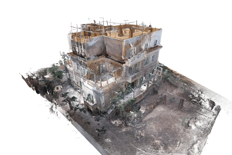
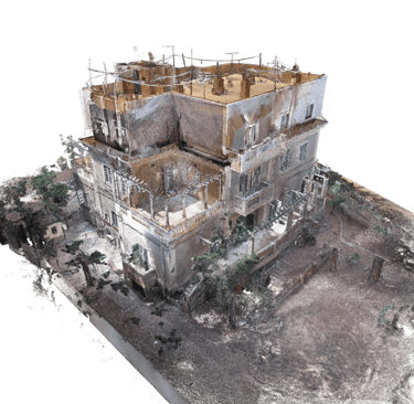
Static Laser Scanning
High-accuracy terrestrial scanning for environments requiring detailed geometry and precise documentation.
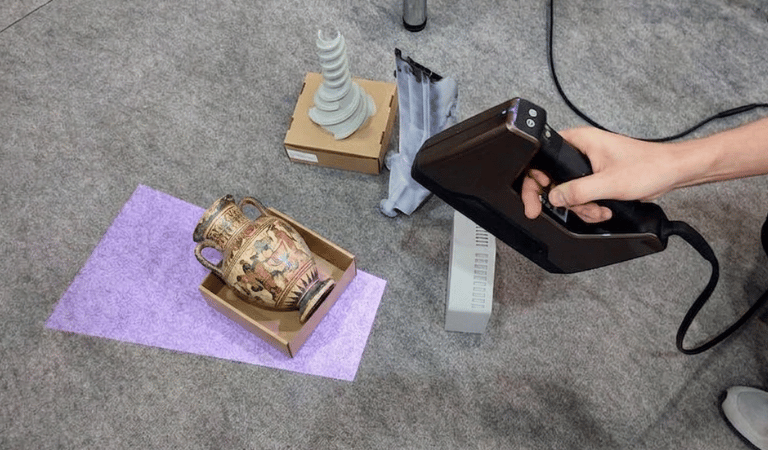
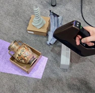
High Details Scanning
Delivering sub-millimeter accuracy. Essential for preservation, reverse engineering, and accurate 3D modeling


Drone Photogrammetry
Aerial documentation for terrain, facades, roofs, and large outdoor environments.
360 Imaging
Visual documentation integrated with spatial datasets for easier navigation and remote review.
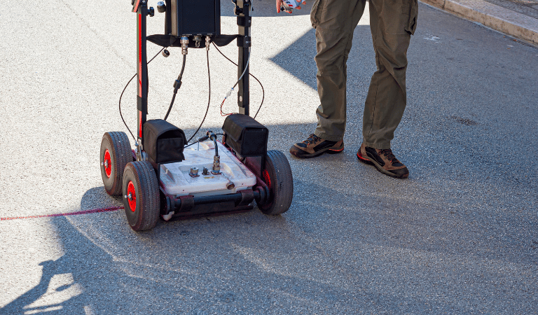
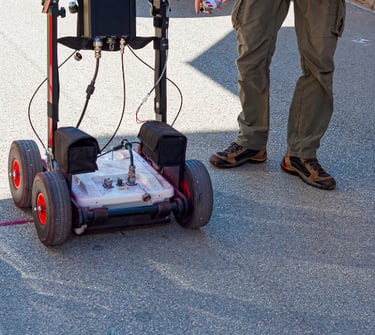
Ground Penetrating Radar (GPR)
Non-destructive subsurface investigation used to detect buried utilities, structural elements, voids, reinforcement layouts, and underground anomalies before excavation, construction, or retrofit activities.
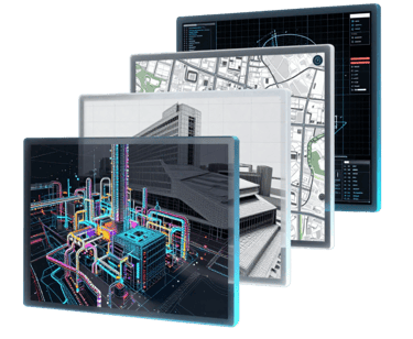
Outputs & Deliverables
Our deliverables are structured to support real engineering, construction, operational, and documentation workflows. Outputs are prepared in industry-standard formats to ensure smooth integration with existing design, BIM, GIS, and asset management environments.
Registered Point Clouds
Colorized Point Clouds
Unified Spatial Datasets
Orthophotos / Orthomosaics
Mesh Models
Walkthroughs

Ready to Start Your Project?
Join our growing list of satisfied clients and experience the X-Dimension difference in reality capture.
Stay connected
Follow us on social media for the latest updates and project showcases.
© 2026 X-Dimension. All rights reserved.
Quick links
Ready to start your project ?
Discuss the project and solution with our team