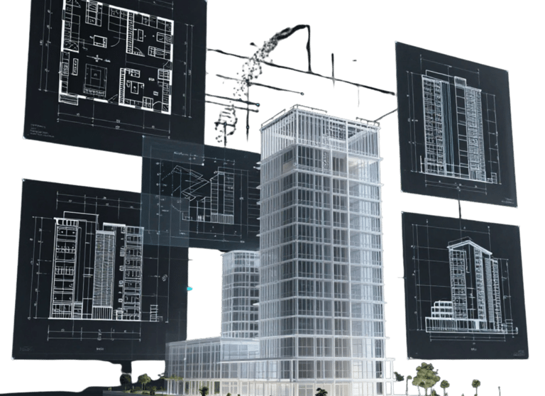
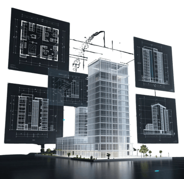
As-Built Documentation
Precise, measurable, fully digital snapshot of facilities and environments eliminating the ambiguity of outdated drawings and removing rework risk before it starts.


Laser Scanning
High-precision 3D laser scanning for comprehensive spatial data capture in various environments with highest accuracy.
Static terrestrial scanning
Mobile mapping solutions
Real-time Integration

Static & Dynamic


Photogrammetry
Aerial & Ground-Based
High-resolution image-based modeling for precise 3D reconstruction and mapping captured by drones and handheld cameras
Aerial drone photogrammetry
Ground-based image capture
Orthophoto & DSM generation


Virtual Tours
360° Immersive Imaging
Immersive 360° imaging for interactive virtual walkthroughs, enabling remote exploration and enhanced spatial awareness of real environments.
Indoor & outdoor 360° capture
Interactive virtual walkthroughs
Web-based viewers


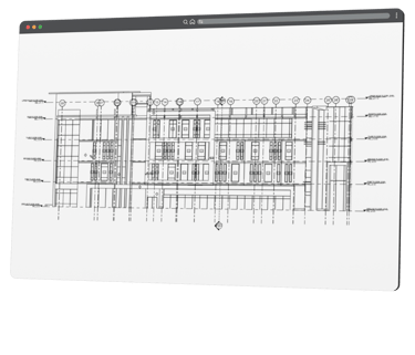
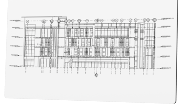
2D Digitization
Point Cloud to CAD
Accurate transformation of point cloud data into 2D drawings using industry-standard formats like DWG for seamless integration into design workflows.
2D CAD drawing extraction
Floor plans, elevations & sections
Layered DWG/DXF outputs
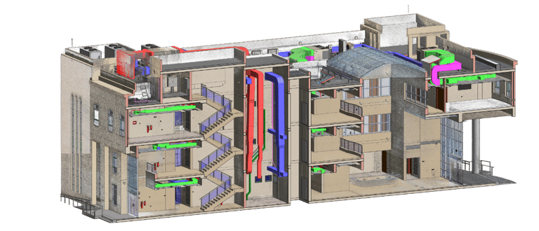
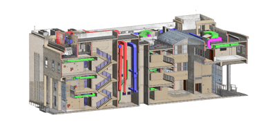
Scan to BIM
Point Cloud to BIM
3D digitization of point cloud data into 3D models using industry-standard formats like RVT and IFC for seamless integration into workflows.
3D BIM modeling in Revit
LOD-based model development
IFC & industry-standard exports
Survey Reporting
Geospatial Analysis
Reports for structural deviations and surveying insights for buildings and land to to support engineering decisions.
Structural deviation reports
Building & land surveying
Compliance, accuracy & safety insights
Adopted Technologies
A range of advanced reality capture, digitization, and modeling technologies to transform existing physical environments into accurate engineering and operational documentation. The selected workflow depends on project requirements, asset complexity, required accuracy, and final deliverables.
Outputs & Deliverables
Our deliverables are structured to support real engineering, construction, operational, and documentation workflows. Outputs are prepared in industry-standard formats to ensure smooth integration with existing design, BIM, GIS, and asset management environments.
2D Drawings
3D Models
Diagrams
Orthophotos / Orthomosaics
Mesh Models
Ready to Document Your Project?
Join our growing list of satisfied clients and experience the X-Dimension difference in documentation solutions.
Stay connected
Follow us on social media for the latest updates and project showcases.
© 2026 X-Dimension. All rights reserved.
Quick links
Ready to start your project ?
Discuss the project and solution with our team