Gardens & Landscape Solutions
Providing reality capture, topographic documentation, digital modeling, condition assessment, and interactive visualization workflows tailored for gardens, resorts, parks, public spaces, and landscape development projects.
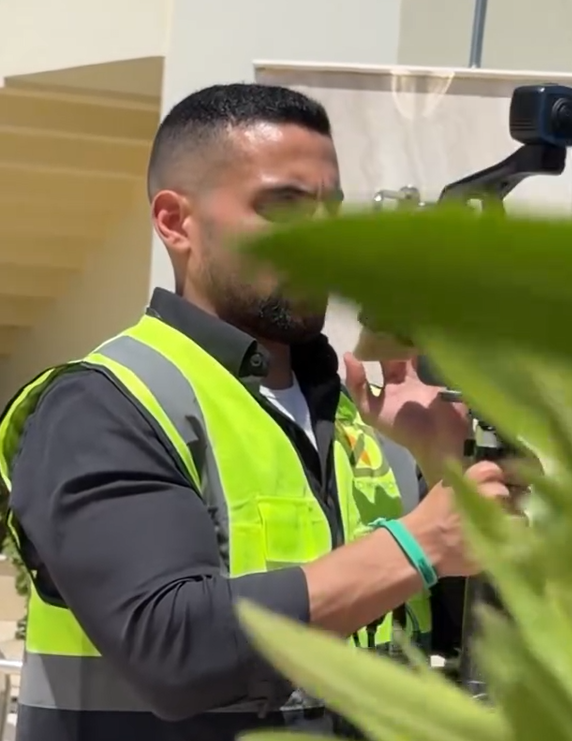
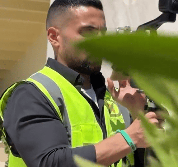
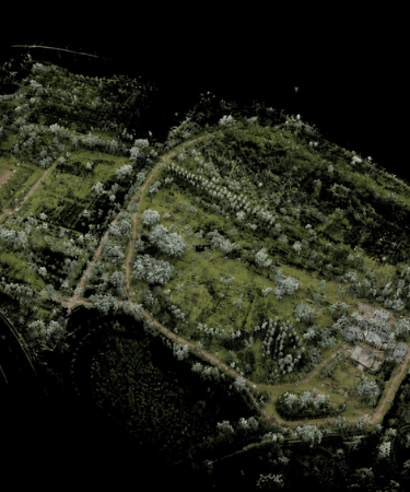
Reality Capture & Site Documentation
High-accuracy capture of landscape environments, outdoor spaces, terrain conditions, vegetation zones, water features, hardscape elements, and site infrastructure using photogrammetry, laser scanning, mobile scanning, and imaging technologies.
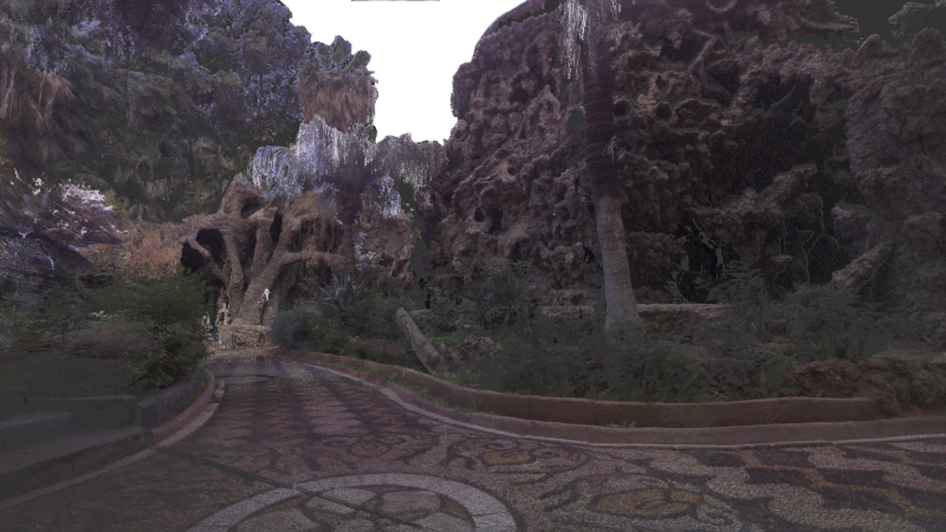
Turning captured outdoor environments into clear drawings, surrounding context, and simplified spatial references for landscape planning and development.
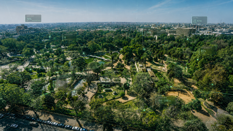
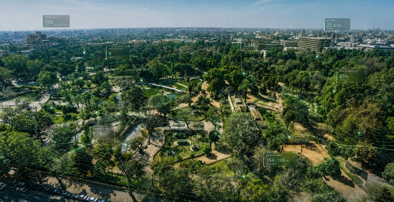
Landscape insights


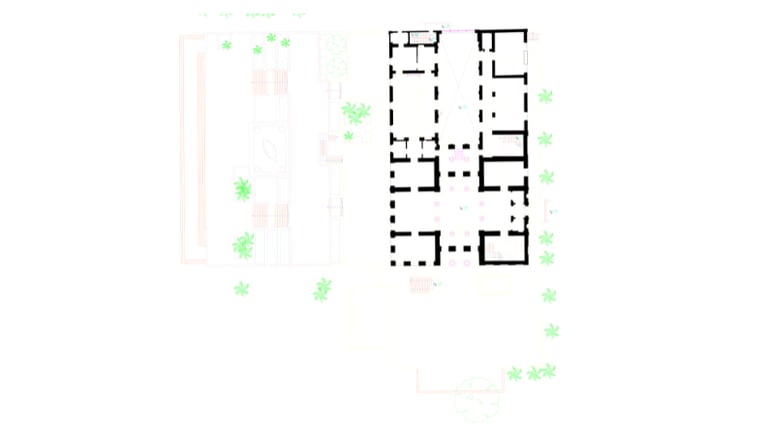
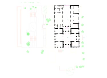
2D CAD Drawings
for zoning and clustering

Surrounding Area Documentation
for classifying the surroundings


Complexity Simplification
Simplified Illustrations for complex geometries
Topography & Terrain Modeling
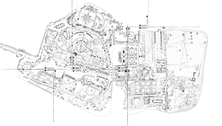
Development of accurate terrain models and topographic datasets supporting landscape design, grading analysis, drainage planning, and site development workflows.
Digital terrain models
Contour generation
Elevation analysis
Site grading references
Featured Projects
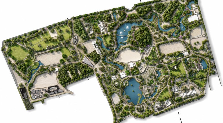
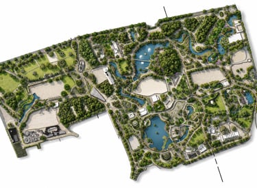
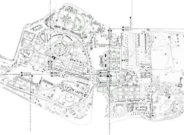
Giza Zoo
➤ Giza, Egypt 𝄜 2023
To create full 3D and 2D documentation of one of Africa and the Middle East’s oldest zoological parks before a major renovation project.
Workflow
Reality Capture
Landscape Documentation
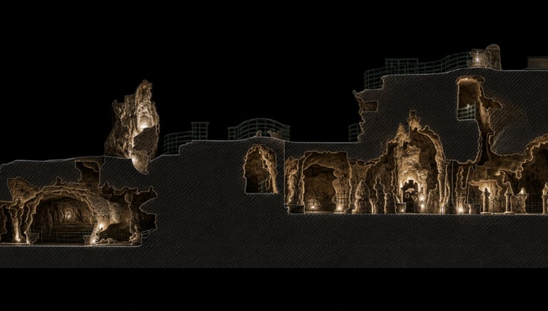
Heritage and Site Documentation
Terrain and Level Review
Tree Information Mapping
Digital Deliverables
Registered Point Cloud
2D Drawings
Site Documentation Reports
Tree and Landscape Information
Spatial Design References
Giza Zoo contains a combination of landscape zones, heritage assets, buildings, trees, and public spaces. The renovation required accurate documentation of the existing environment and careful consideration of significant trees that could not be removed. X-Dimension documented the zoo, revised traditional grid leveling work, and helped the design team understand tree trunk positions at specific heights for integration into the design process. The project also supported the addition of tree-related information in collaboration with expert personnel.
Project Purpose
Project Context
Why It Mattered
The project created a comprehensive digital reference for a sensitive landscape and heritage environment, helping designers plan renovation works while respecting existing trees, buildings, and site features.

Antoniadis Botanical Gardens
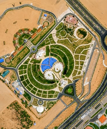
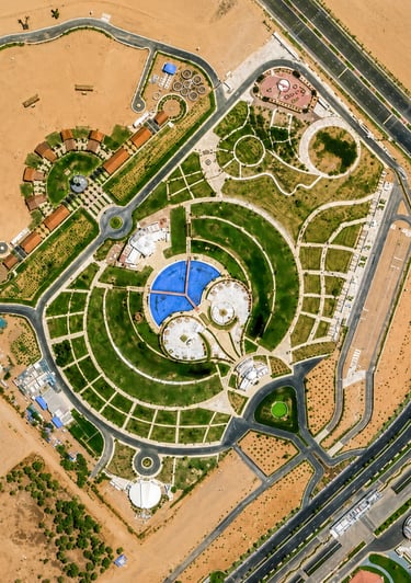
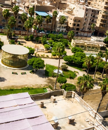
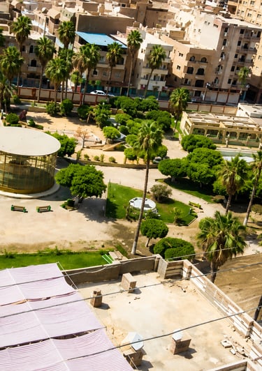
Peace Park - Sharm Al Sheikh
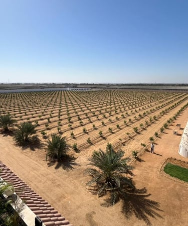
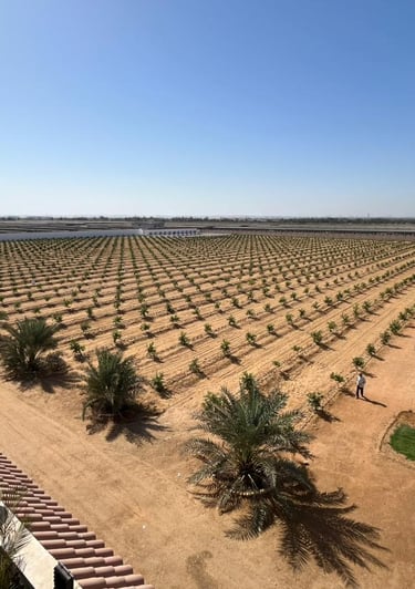
Ismailia Farms
Mansoura Zoo & Garden
Cairo, Egypt - 2022
Cairo, Egypt - 2022
Cairo, Egypt - 2022
Cairo, Egypt - 2023

Ready to Start Your Project?
Join our growing list of satisfied clients and experience the X-Dimension difference.
Stay connected
Follow us on social media for the latest updates and project showcases.
© 2026 X-Dimension. All rights reserved.
Quick links
Ready to start your project ?
Discuss the project and solution with our team